+7 (499) 673-99-97
hotline for services
+7 (499) 673-99-99
contact us
SERVICES
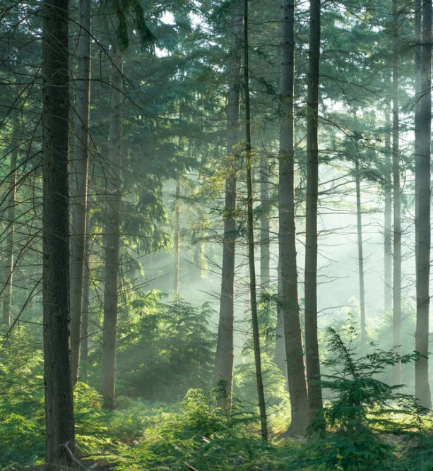

Roslesinforg conducts activities to study the state of land, planning and organization of the rational use of land and its protection; to describe the location and to establish the boundaries of land management objects on the terrain/ ground; to organize the rational use of land sites by citizens and legal entities for agricultural production.

Services for the implementation of cadastral work, as well as for entering information into the USRN

Services for describing the location of borders, as well as entering information about them in the State Forest Register and the Unified State Register of Property Rights.

Determine the quantitative and qualitative characteristics of forest stands and the volume of wood to be harvested

Specialists at Roslesinforg will help you prepare the relevant documents and will fully accompany the customer during the transfer.

Select areas for reforestation or afforestation, conduct field surveys of the sites, select the appropriate recovery technology.

State inventory of forests

About us


